How does a satellite tracking system protect NGO staff? Humanitarian relief organizations seldom do their most important work in safe places. They send staff into conflict zones, famines, and epidemics, where humanity and nature conspire to bring untold suffering. Protecting their people is second only to the mission of saving lives, preserving order where it exists, and striving to create it where it has collapsed.
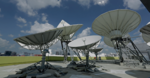
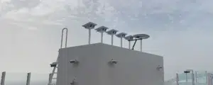
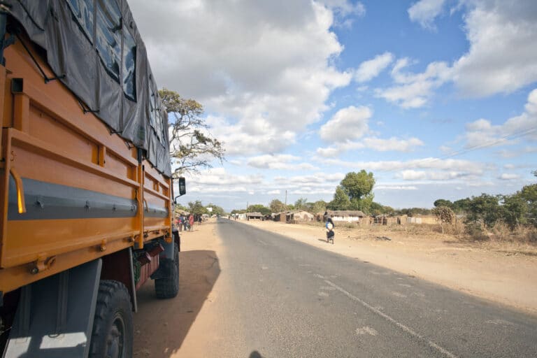
For a global NGO, Speedcast has deployed a unique satellite-cellular tracking and messaging system aboard 3,500 trucks that take their drivers and cargo to some of the most dangerous places on Earth. At the NGO’s headquarters, it shows vehicle location, speed and heading, with geofencing features that trigger alarms if trucks depart from their assigned routes – for example, if they are commandeered by combatants.
The platform also takes advantage of the Garmin terminal’s ability to send and receive preset or custom messages to add a third form of communications to the driver’s toolkit. A panic button allows the driver to alert headquarters without the knowledge of anyone else in the cab. Even in the most remote and war-torn zone, drivers and crew are never alone. Detailed knowledge of their location and situation can make the difference between life and severe injury or death.
Hear from the Speedcast team who put this live-saving NGO application into the field in our latest Need to Know video interview.